Source:Xinhua 2016-07-06

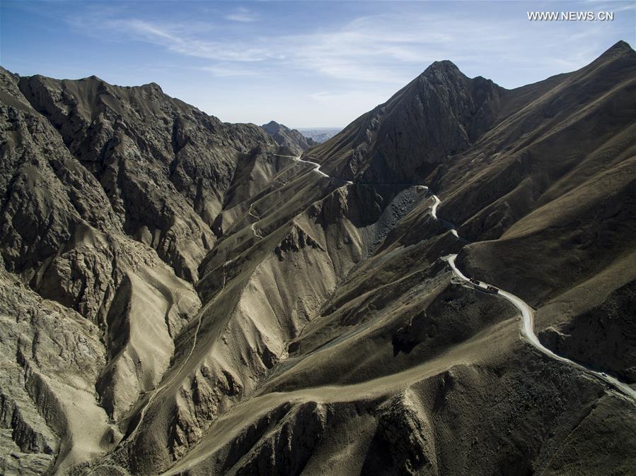
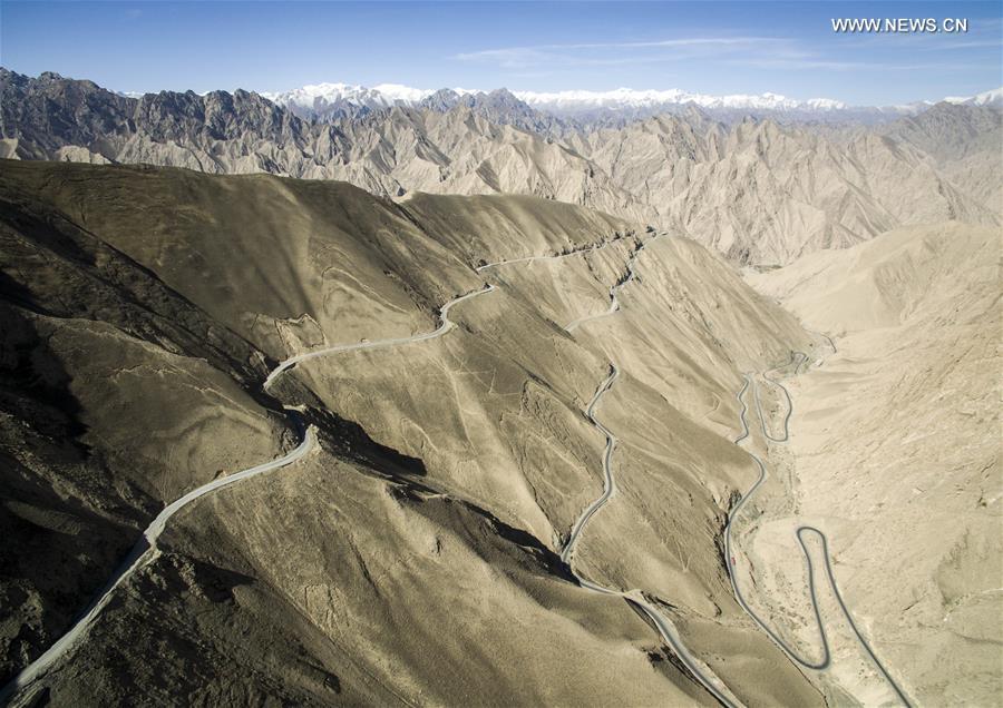
Photo taken on April 30, 2016 shows the Xinjiang-Tibet Highway passing through mountains in northwest China's Xinjiang Uygur Autonomous Region. As one of the world's highest motorable roads, Xinjiang-Tibet Highway, or China National Highway 219, connects Xinjiang and southwest China's Tibet Autonomous Region with an average altitude of over 4,500 meters. Originally made of graval in 1950s, the 2,340-kilometer highway was fully paved with asphalt in 2013. (Xinhua/Jiang Wenyao)

Photo taken on April 28, 2016 shows the Xinjiang-Tibet Highway running along the Bangong Lake in northwest China's Xinjiang Uygur Autonomous Region. As one of the world's highest motorable roads, Xinjiang-Tibet Highway, or China National Highway 219, connects Xinjiang and southwest China's Tibet Autonomous Region with an average altitude of over 4,500 meters. Originally made of graval in 1950s, the 2,340-kilometer highway was fully paved with asphalt in 2013. (Xinhua/Jiang Wenyao)

Photo taken on April 30, 2016 shows the Xinjiang-Tibet Highway passing through mountains in northwest China's Xinjiang Uygur Autonomous Region. As one of the world's highest motorable roads, Xinjiang-Tibet Highway, or China National Highway 219, connects Xinjiang and southwest China's Tibet Autonomous Region with an average altitude of over 4,500 meters. Originally made of graval in 1950s, the 2,340-kilometer highway was fully paved with asphalt in 2013. (Xinhua/Jiang Wenyao)
Copyright © Xizang Daily & China Xizang News All rights reserved
Reproduction in whole or in part without permissions prohibited
Index Code: 藏 ICP 备 05000021 号
Producer: Xizang Daily International Communication Center